Slave to the Game
Online Gaming Community
ALL WORLD WARS
BATTLEFIELDS OF THE CRIMEAN CAMPAIGN 1854-1855
Photos by Colonel V.Klembovsky, 1904
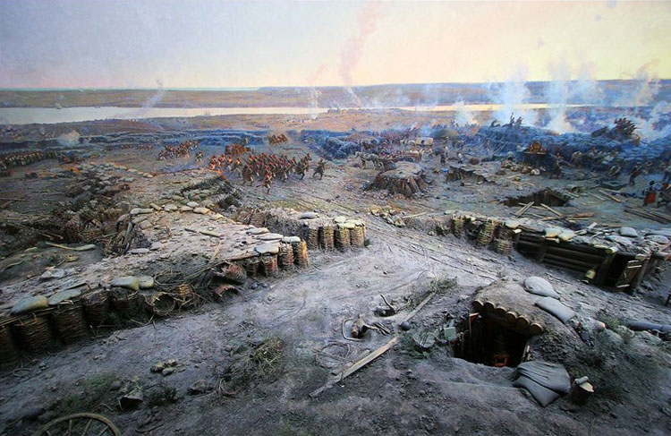
Sevastopol Defense. Panorama by F. Roubaud (fragment)
LANDING, SEPTEMBER 2 (14), 1854
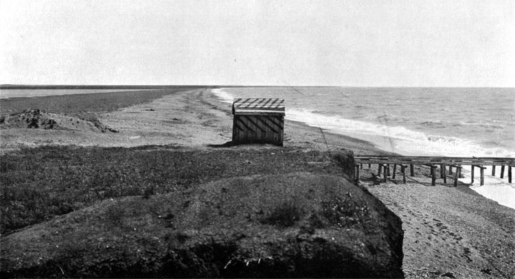
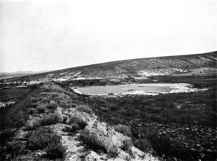
1. Landing place of the French Army, September 2, 1854. View from the North. Salt lake Kitchik-Bel on the left, Black Sea is on the right. Shack and wooden landing didn't exist in 1854.
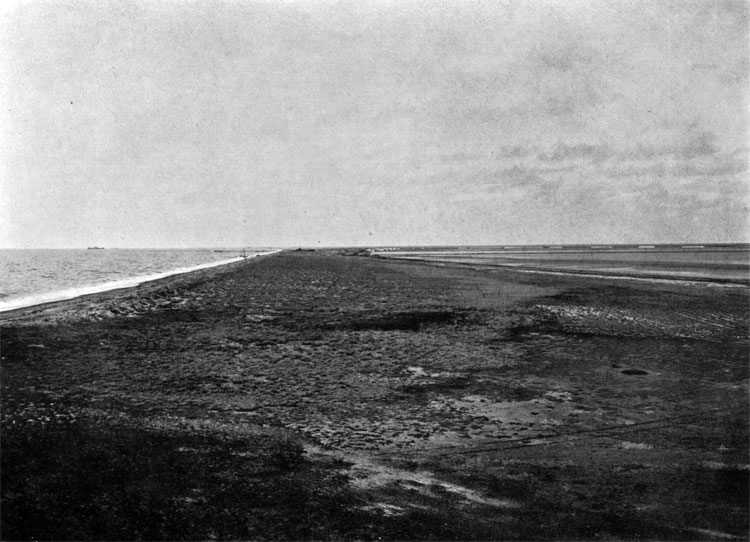
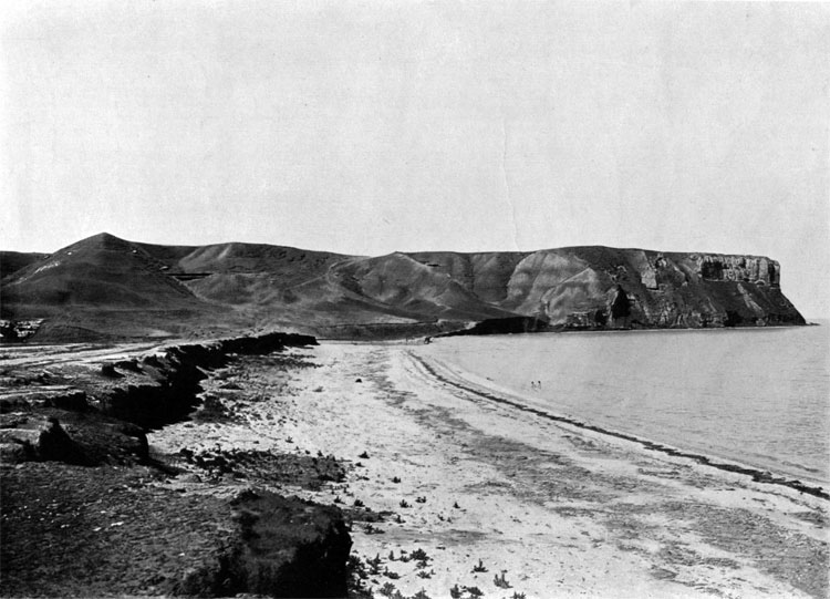
2. Landing place of the British Army, September 2, 1854. View from the South. Lake Kizil-Yar is on the right, Black Sea is on the left.
ALMA, SEPTEMBER 8 (20), 1854
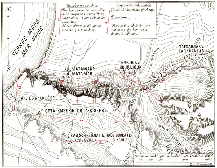
Plan I. Alma Battlefield, September 8, 1854. Red arrows legend: dot indicates viewpoint, number corresponds with photo number below, arrowhead indicates shooting direction.
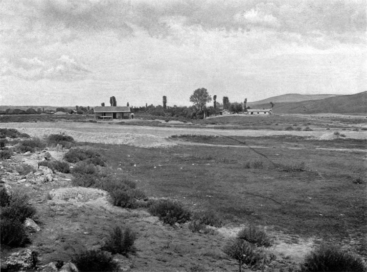
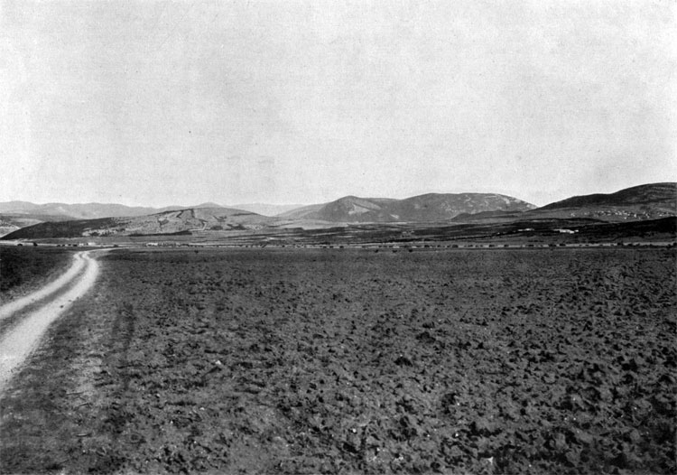
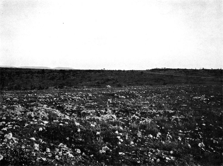
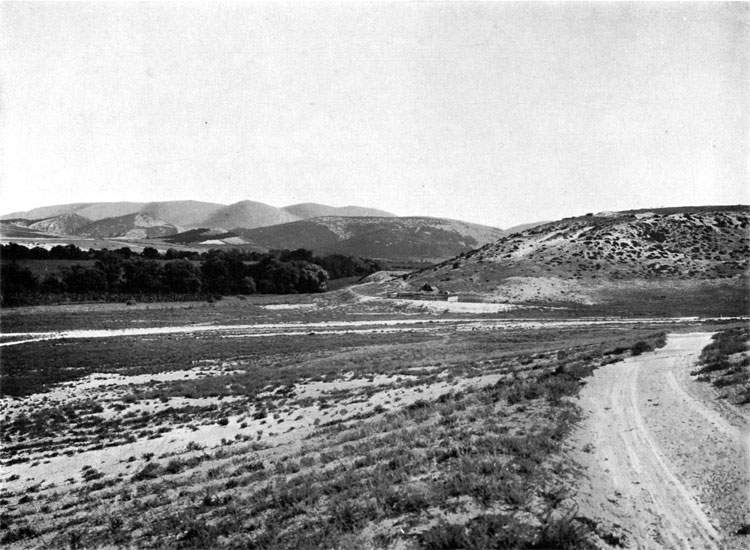
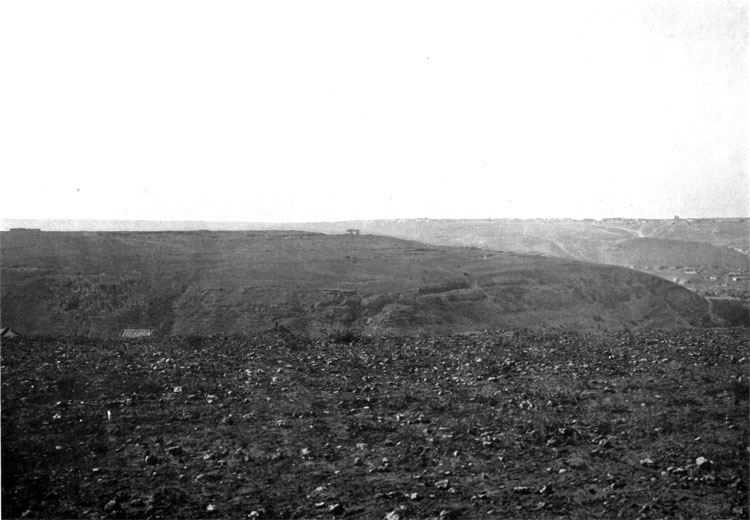
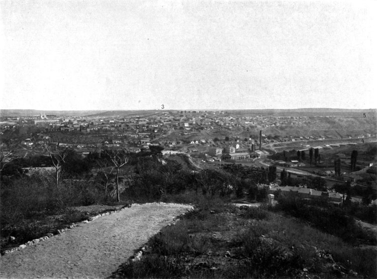
3. Front line and terrain before position of the Suzdal Infantry Regiment and two batteries of the 14th Artillery brigade, attacked by Brown and Duke of Cambridge divisions. Tarchanlar village is on the right, behind the tree line, river Alma is on the left. .
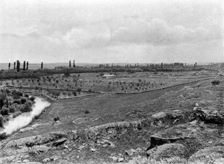
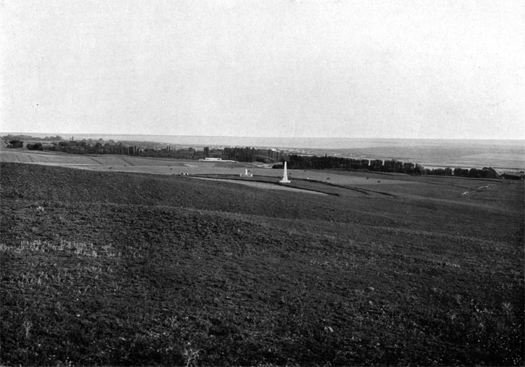
4. Position of the Grand Duke Michael Jager Regiment and battery of the 16th artillery brigade (marked by the stone pile and remains of the earthworks on the foreground) attacked (from left to right from the viewer) by Brown, Evance and Duke of Cambridge divisions. Monument on the foreground was erected in honor of the Vladimir Regiment soldiers, up on the slope and to the left is the monument to all Russian soldiers, died in battle. Duke Menshikov was stationed during the Alma battle on top of this height on the background.
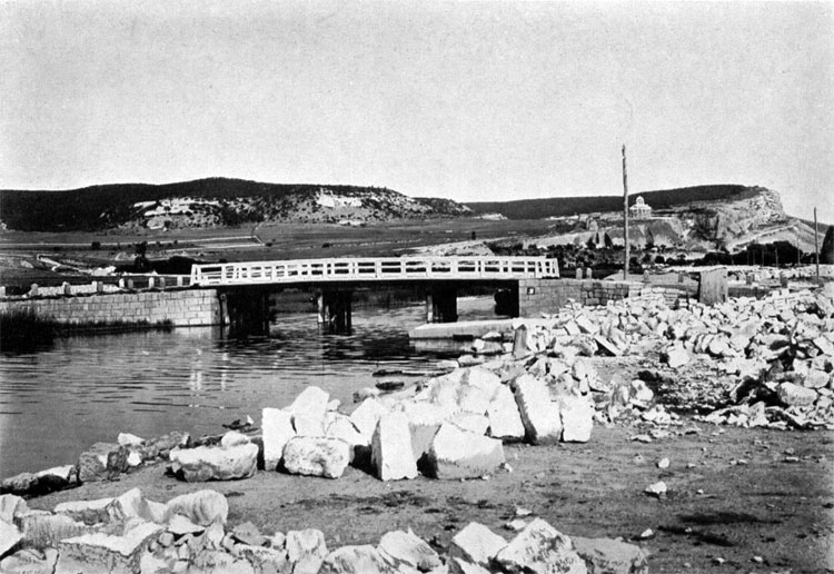
5. Bridge across Alma River in Burliuk Village, completely re-built after 1855.
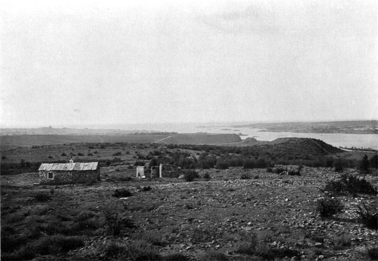
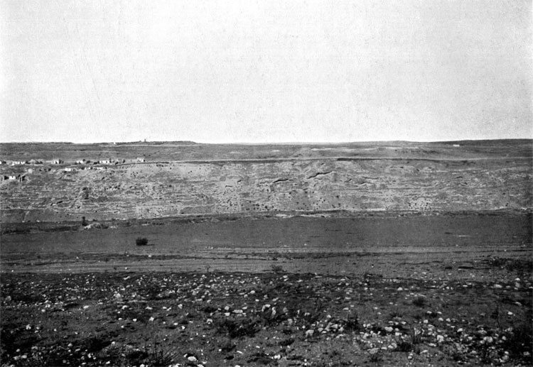
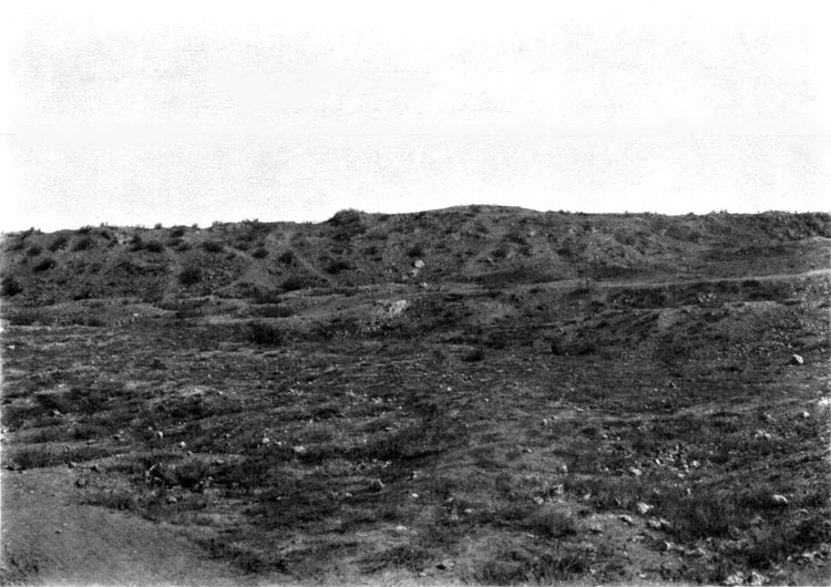
6. Position of the Borodino Infantry Regiment and two batteries of the 16th Artillery Brigade. Woods on the background are in fact tatr orchards along the banks of Alma. Burliuk village, behind the orchards, is a jumping-off place of Evance division,
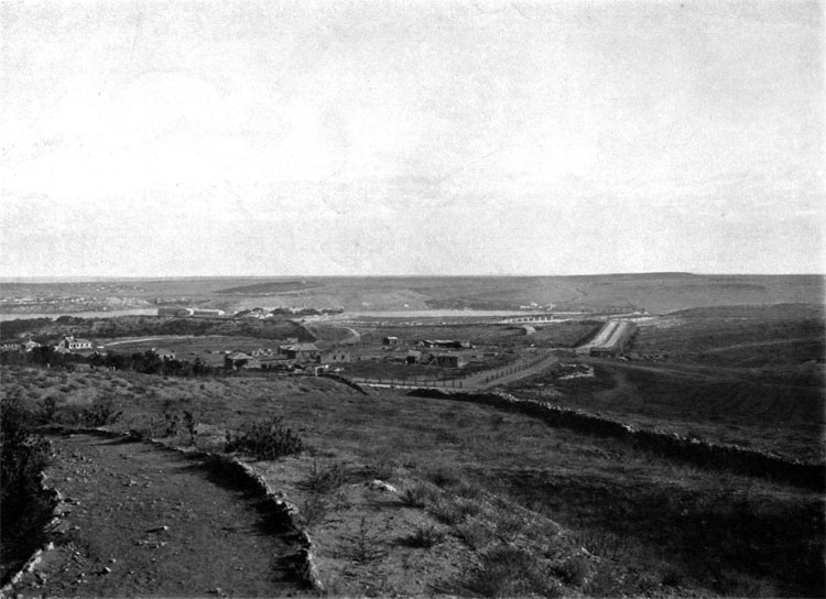
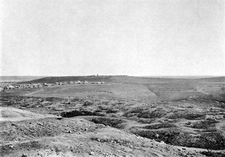
7. View from the height where Prince Menshikov was stationed during the battle. In the center of the photo, in the monuments' area is former position of the Grand Duke Michael Jager Regiment; Suzdal Regiment was positioned on the right, before the tree line, marking Alma River south bank, on the extreme left are the heights, occupied by the Borodino Regiment. Burliuk village is slightly visible just above the monuments. Heights on the background were used by Allies for assuming the battle order.
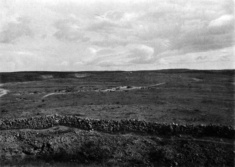
8. Advance path of the French General Canrobert division across the Alma. Crest of the heights on the background was occupied by two reserve battalions of the Russians Belostock Regiment and two battalions of the Tarutino Jager Regiment.
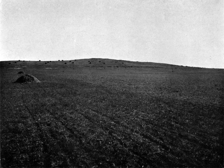
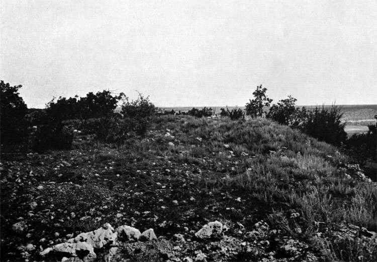
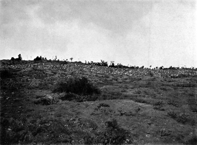
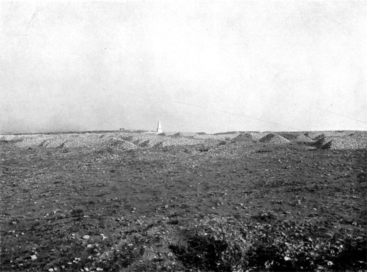
9. Heights, occupied by the Reserve battallions of Belostock and Brest Regiments.
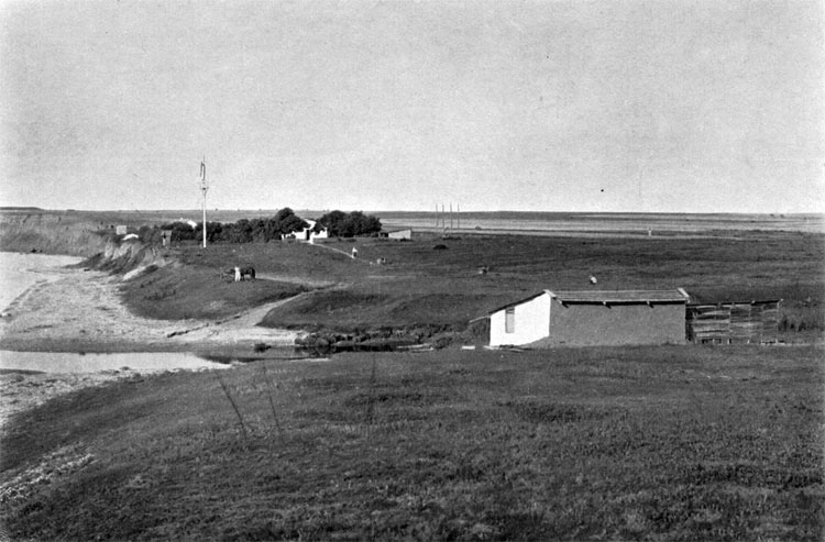
10. Almatamak village on the advance path of the d'Autemarre brigade from General Bosquet division.
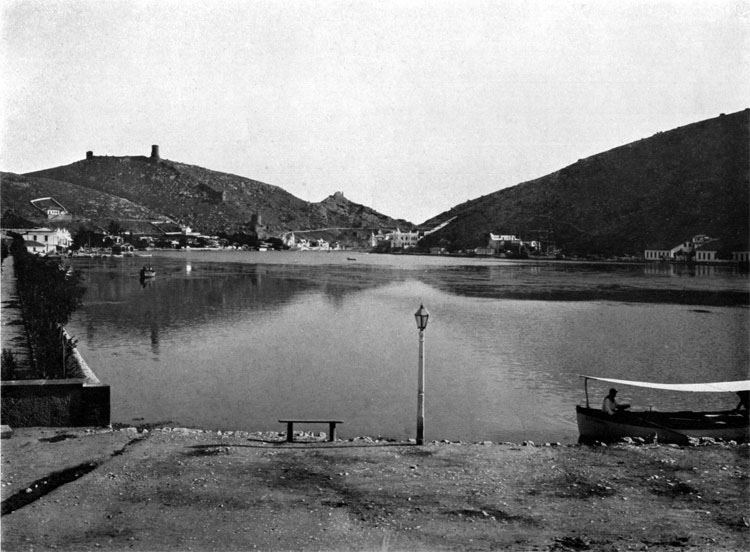
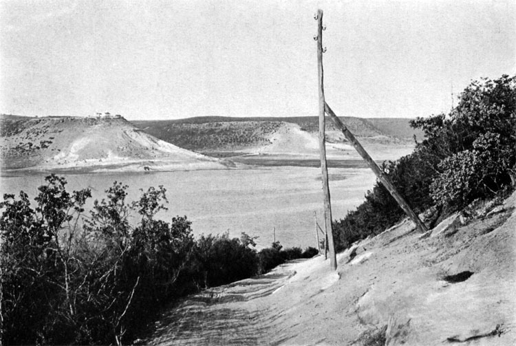
11. Ford near mouth of Alma River and path, used by Bouat brigade from Bosquet division.
12. Positions of Minsk regiment near Aklese village.
13. Orta-Kissek village and heights, defended by Moscow and Minsk Regiments.
14. Hadji-Bulat village and heights, where the last stage of the battle took place.
RUSSIAN RETREAT AFTER ALMA
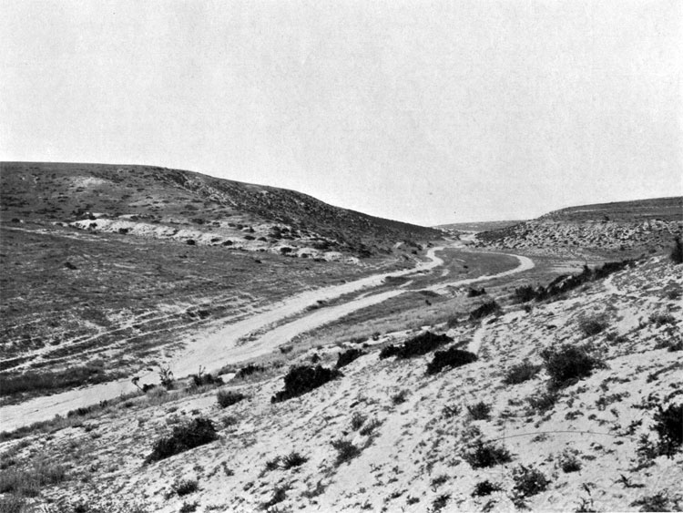
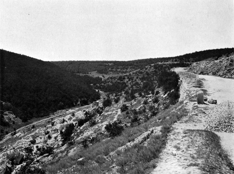
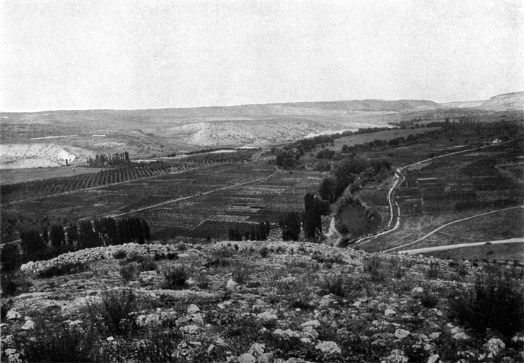
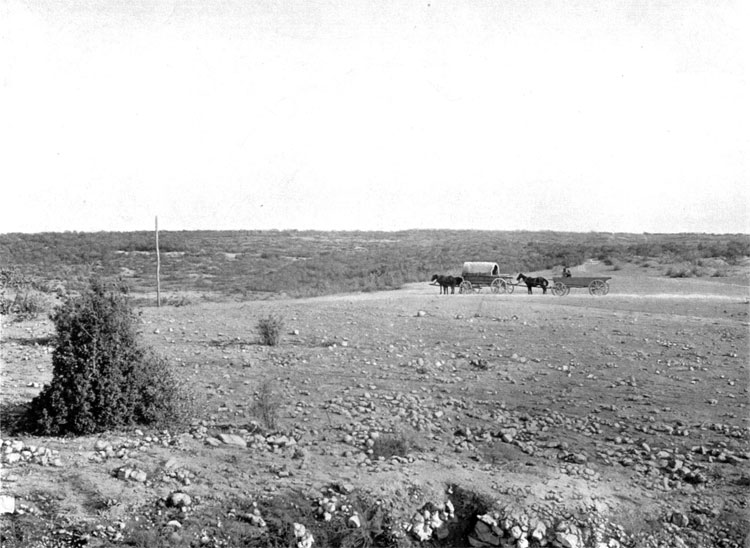
15. Retreat path of the Russian Army from Alma to Sevastopol along Kacha River Valley.
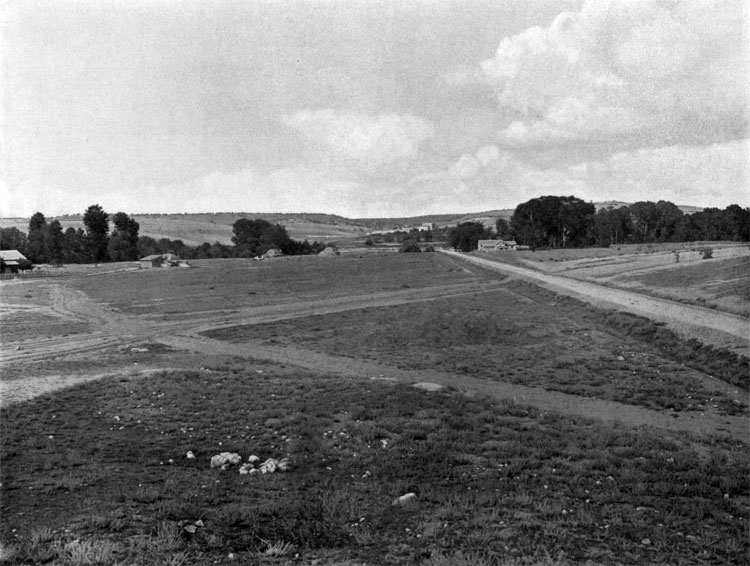
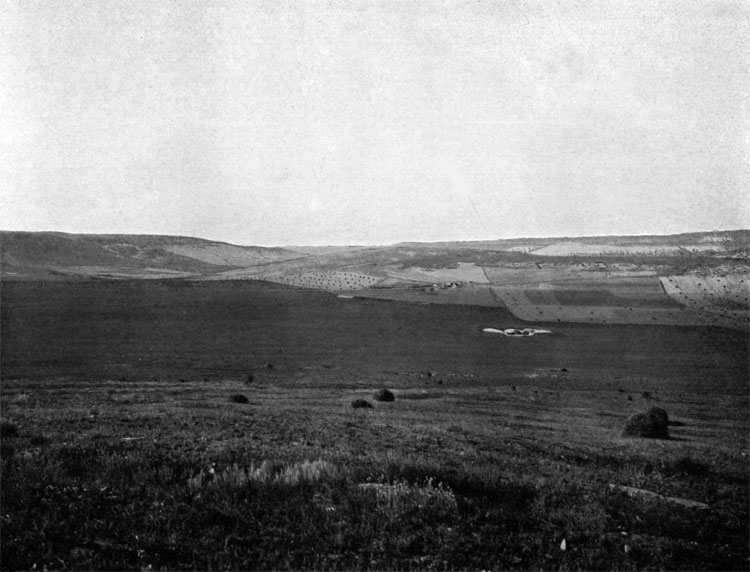
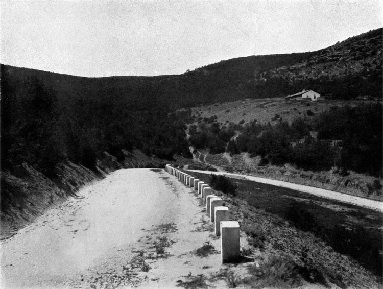
16. Belbeck Valley.
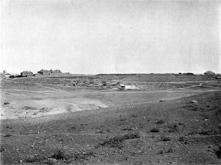
ALLIES OPERATIONAL BASES
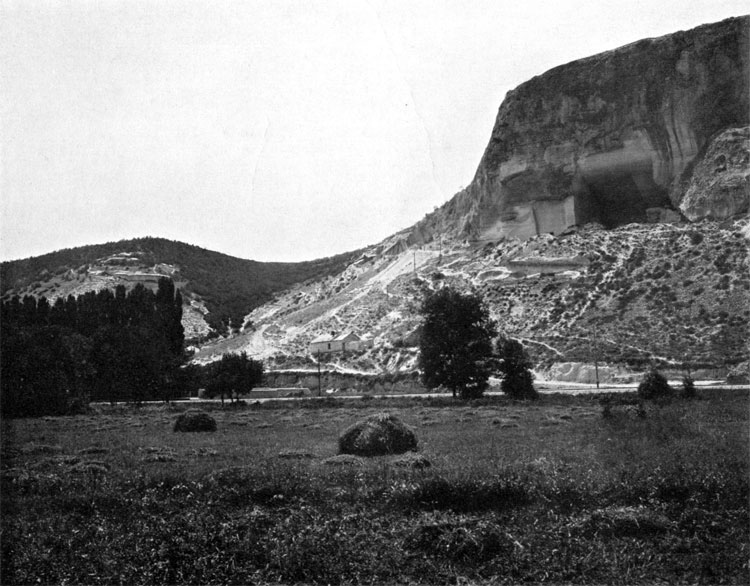
17. French base in Kamiesh Bay.
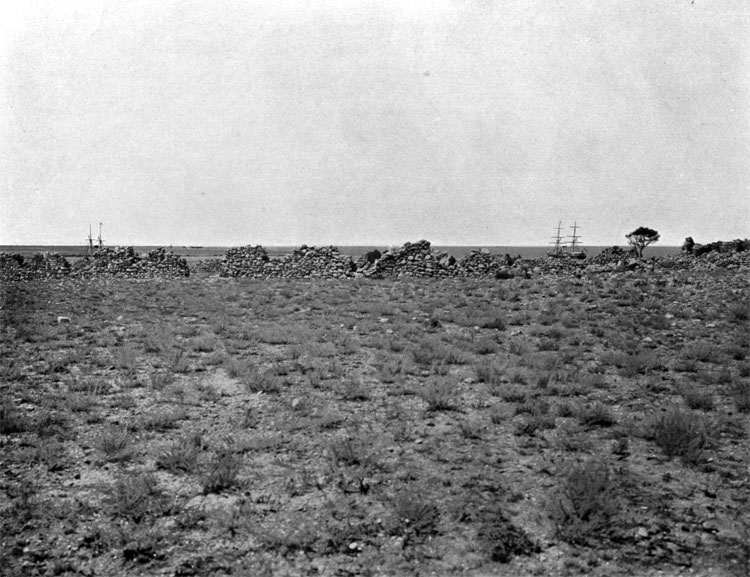
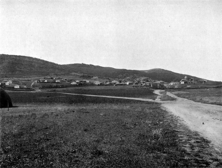
18. Ruins of Kamiesh settlement.
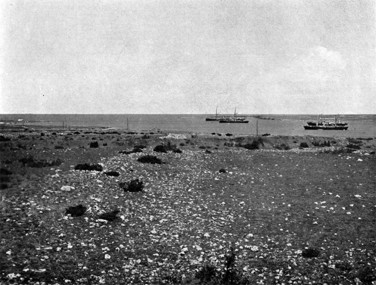
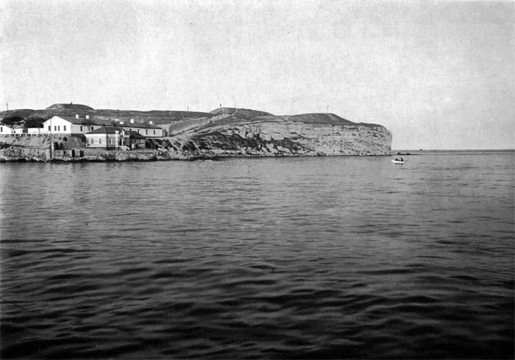
19. Balaclava Bay and settlement, British operational base.
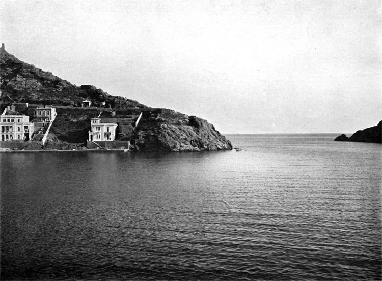
20. Entrance of Balaclava Bay.
BALACLAVA, OCTOBER 13 (25), 1854
Plan II. Balaclava Battlefield, October 13, 1854
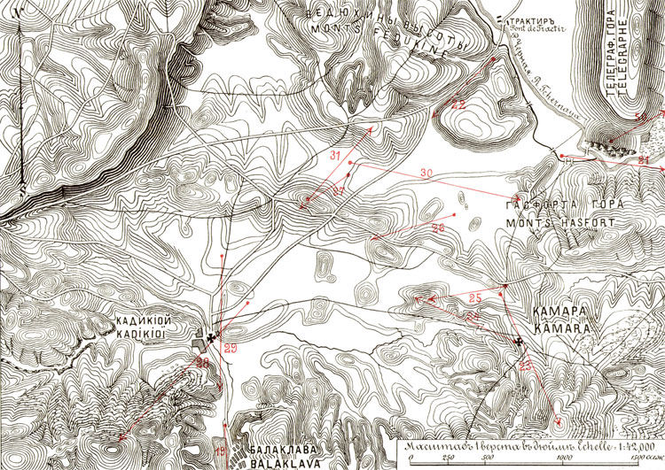
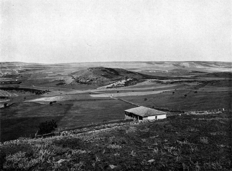
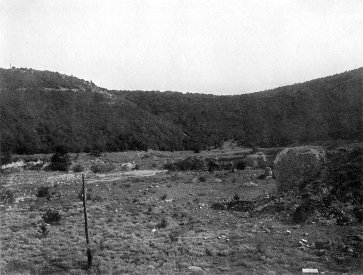
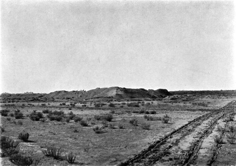
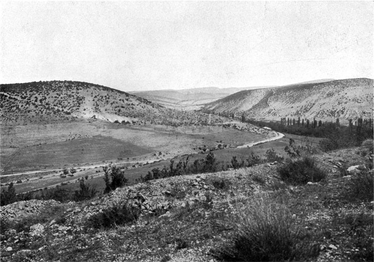
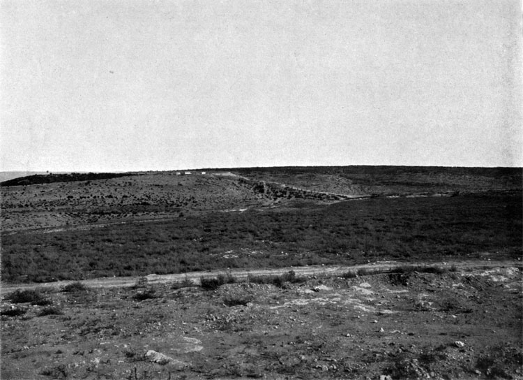
21. Tchernaya River Valley between Telegraph and Hasfort heights.
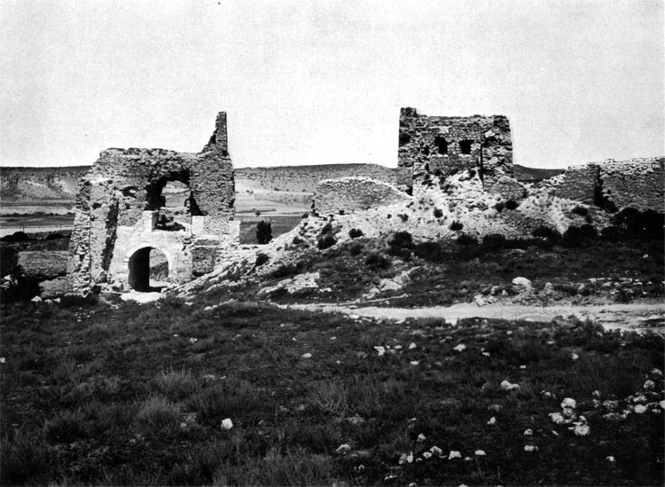
22. Path of the Colonel Scudery column
23. Komary village, occupied by the detachments under General Gribbe.
24. Redoubt #1 on Mamelon, view from Komary village
25. Redoubt #1 on Mamelon, view from Azov Regiment attack direction.
26. Approaches to Redoubts ## 2 and 3.
27. Height with Redoubt # 4.
28. Kadikoi village and height with Rredoubt # 4
29. Balaclava Heights and the hill, where British 93th Highlander Regiment had a bivouac.
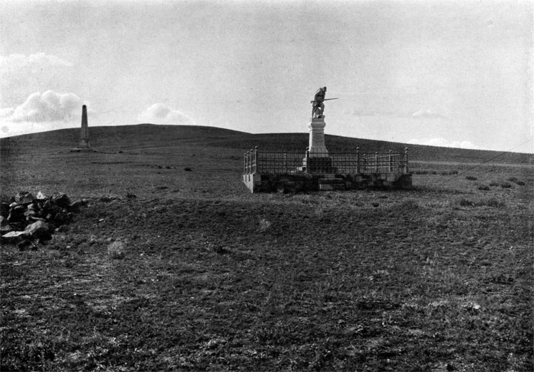
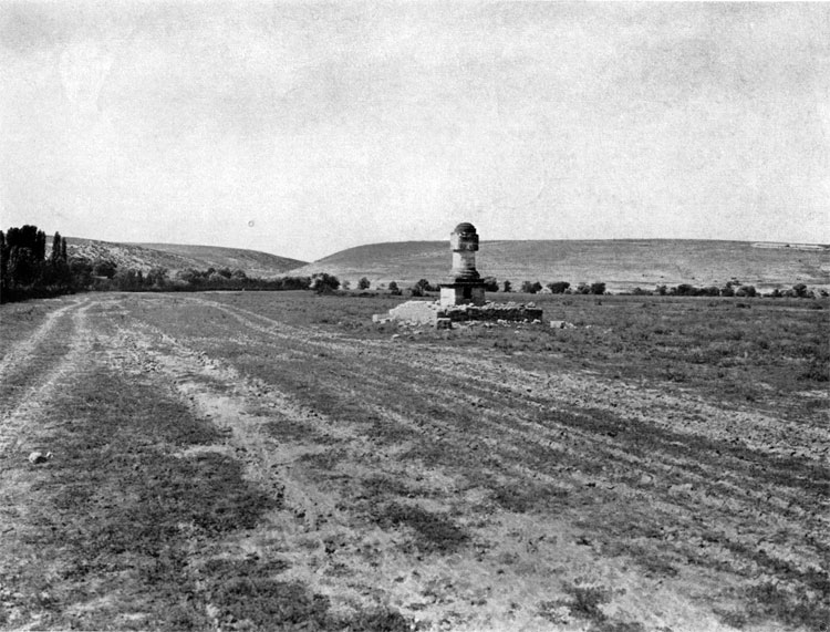
30. Plain between Fediukhin and Semiakin Heights, where General Cardigan led the charge of the Light Cavalry Brigade.
31. View of Fediukhin Heights from Redoubt # 4
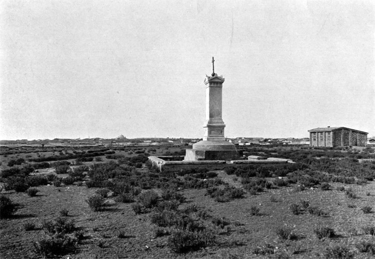
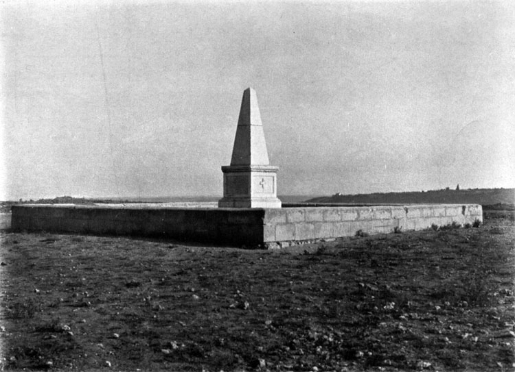
32. Balaclava battle monument, erected by the British.
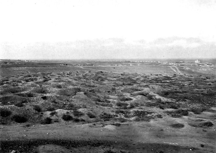
INKERMAN, OCTOBER 24 (NOV 5), 1854
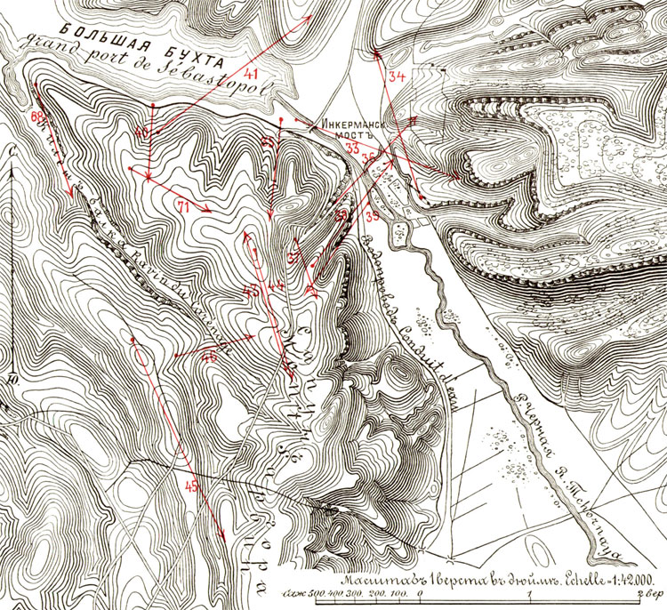
Plan III. Inkerman Battlefield, October 24, 1854
33. Bridge across Tchernaya River, used by General Pavlov's column.
34. Inkerman ruins.
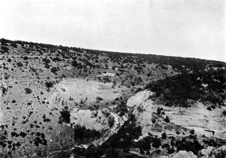
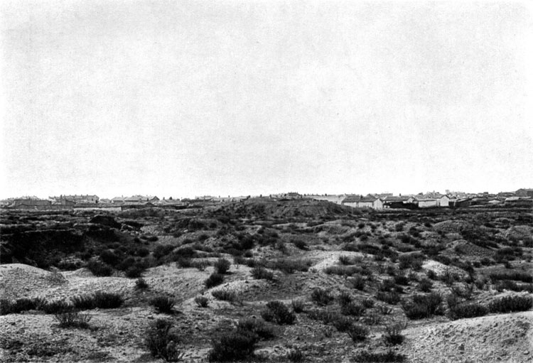
35. Volovia Ravine.
36. Lower part of the Quarry Ravine.
37. Upper part of the Quarry Ravine.
38. Remains of the British battery #1
39. Slope of the Devil Ravine, where British battery # 1 was located.
40. Georgievsky Ravine.
41. Road on the eastern slope of Georgievsky Ravine.
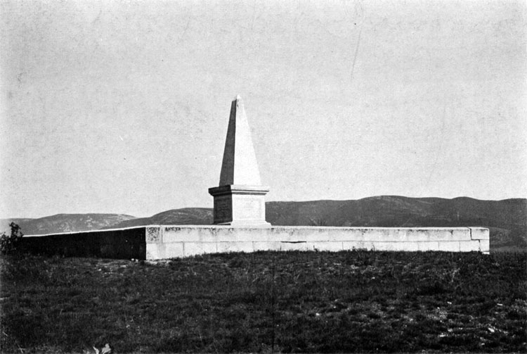
42. Inkerman monument.
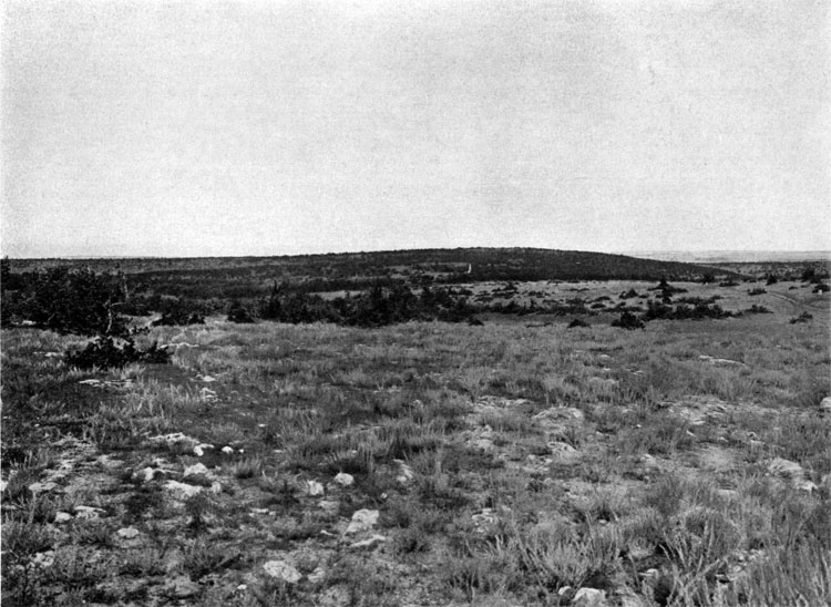
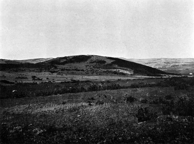
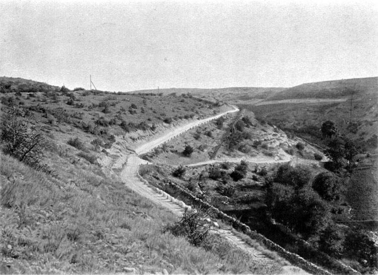
43. Suzdal (Cossack) Mountain
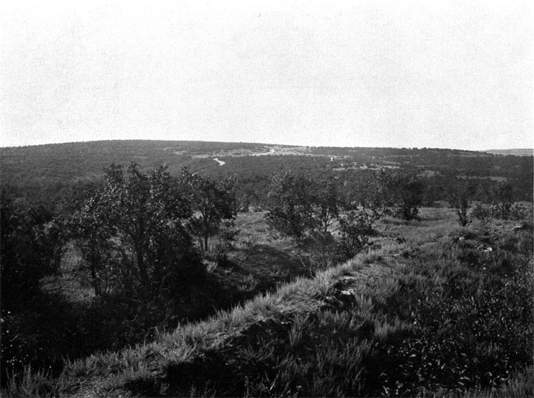
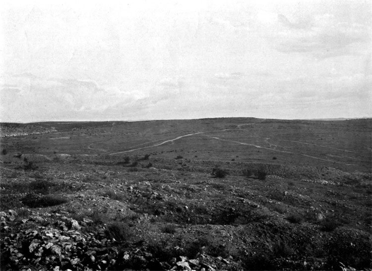
44. British positions.
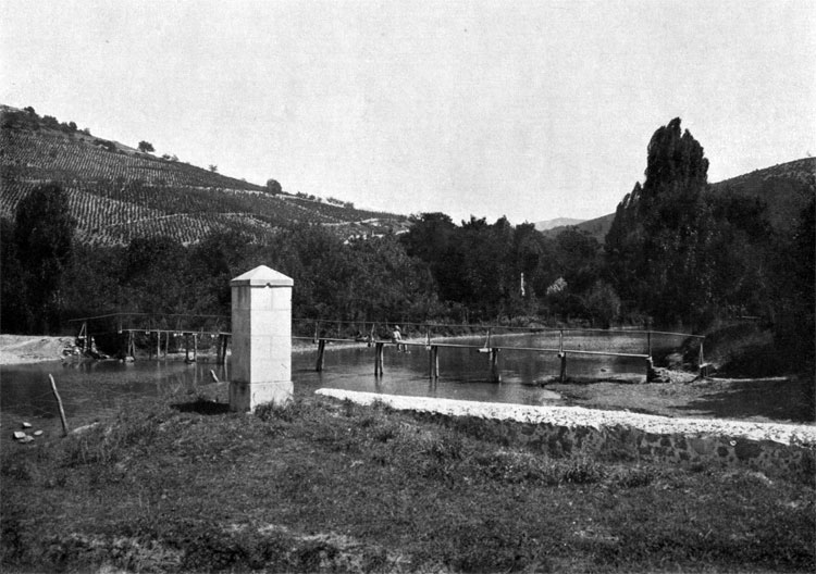
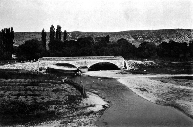
45. View from Lancaster battery to Victoria Redoubt along forward positions of General Condrington brigade.
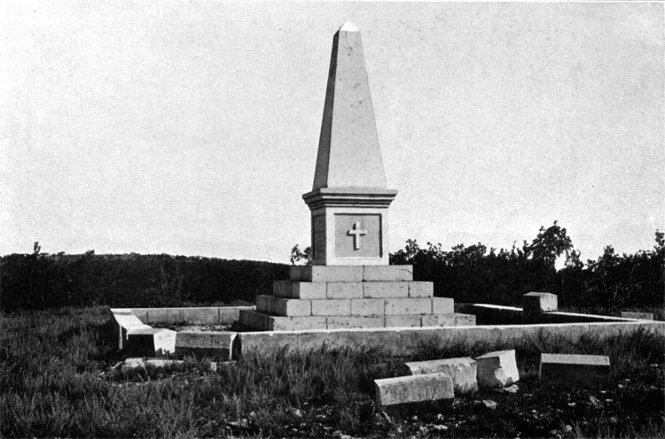
46. Slopes of the Kilen and Mikrukov Ravines.
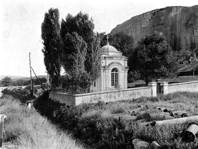
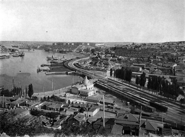
47. Chapel near lower part of the Quarry Ravine
EUPATORIA, FEBRUARY 5 (17), 1855
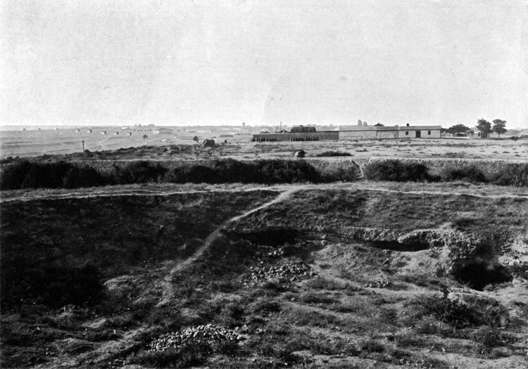
48. Left flank of the Russian Artillery deployment position.
49. Eastern outskirts of Eupatoria and Russian cemetery.
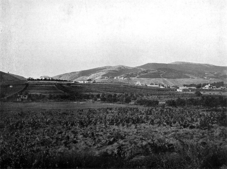
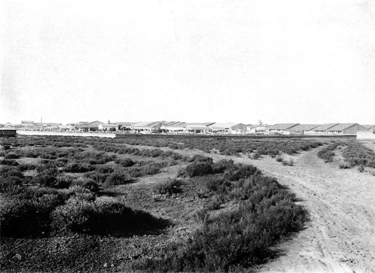
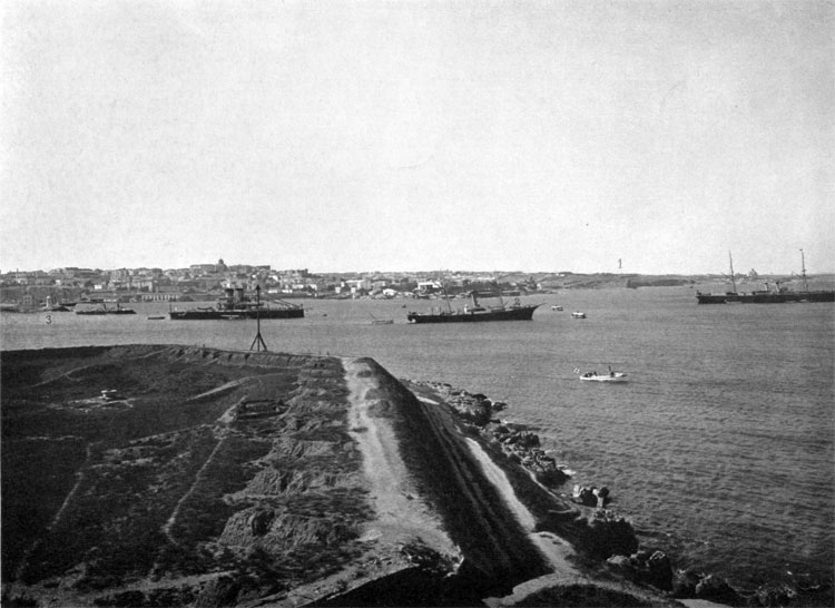
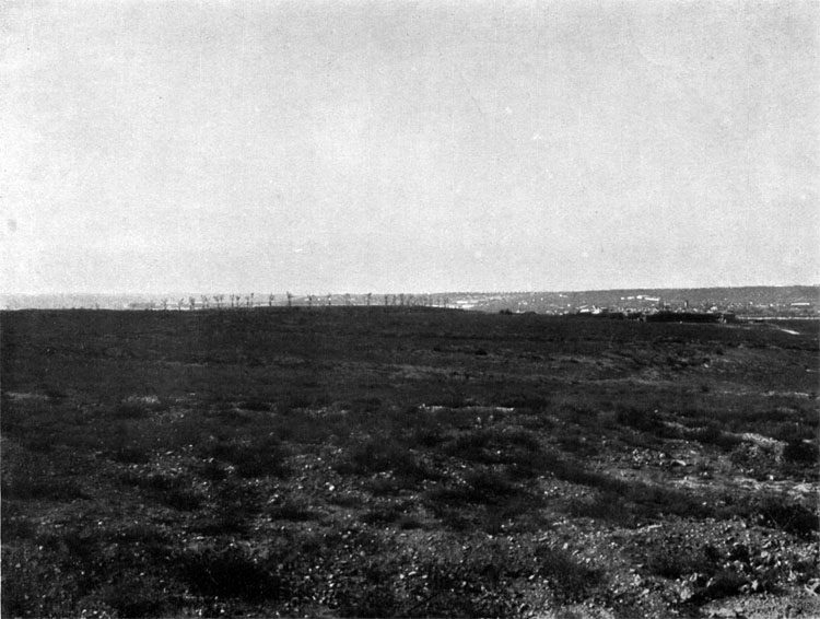
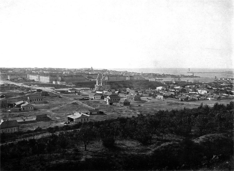
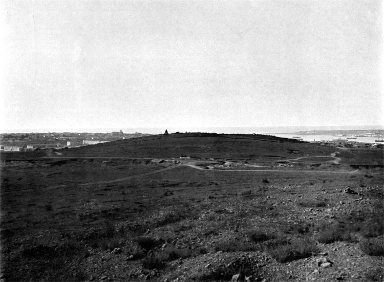
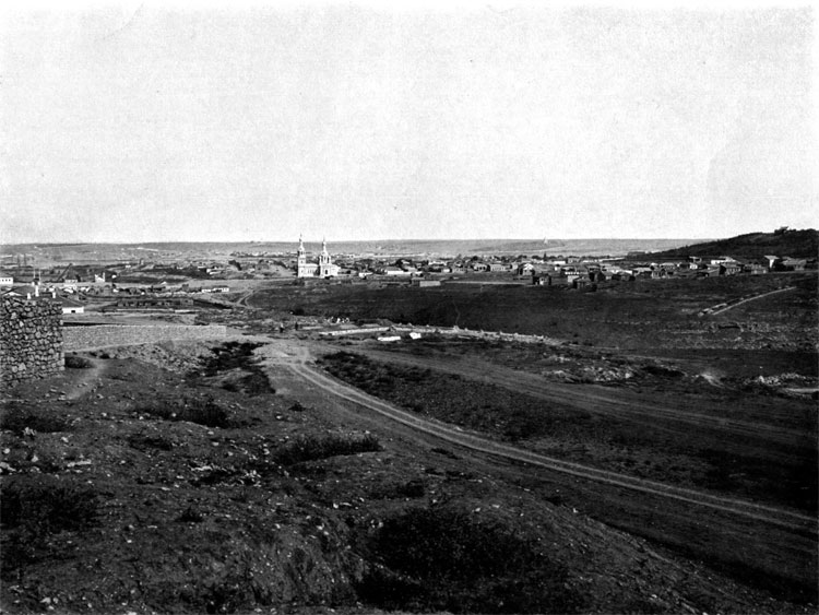
50. Battery # 5, attacked by the Russian Center Column
51. Battery ## 8 and 9, attacked by the Russian Right Column.
TCHERNAYA RIVER (TRAKTIR), AUGUST 4 (16), 1855
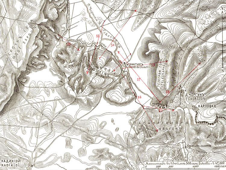
Plan IV. Tchernaya River Battlefield, August 4, 1855
52. Pond near position of the left flank of the 1st Brigade Camou Division. West Fediukhin Height on the background.
53. Advance path of the Russian 7th Infantry Division.
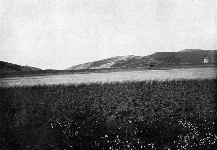
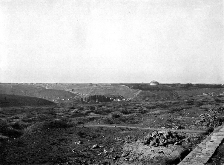
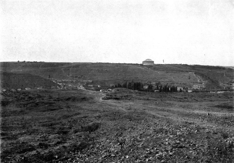
54. Field of fire from the Middle Fediukhin Height, occupied by 1st brigade from Camou Division and 2nd Brigade from Faucheux Division.
55. Advance path of the General Read column against Middle Fediukhin Height.
56. View from the Middle Fediukhin Height to the East Fediukhin Height, occupied by 1st Brigade from Faucheux Division.
57. Tchernaya River Valley from Telegraph Mountain.
58. Shula River Valley.
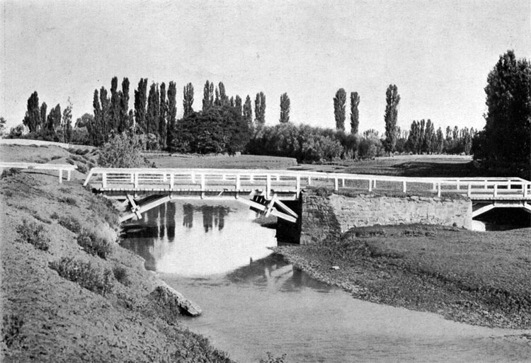
59. Bridge across Tchernaya River near Traktir.
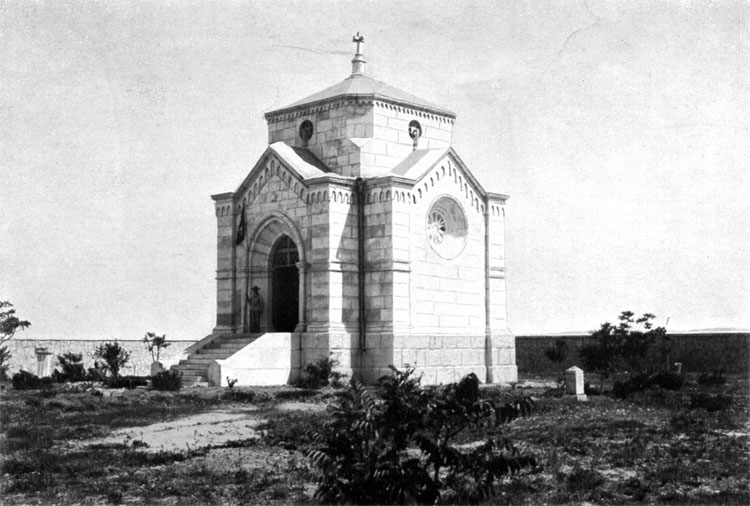
60. Chapel of Italian Cemetery on the Hasfort Height.
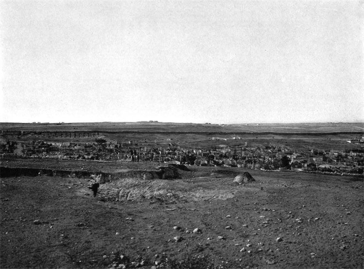
SEVASTOPOL
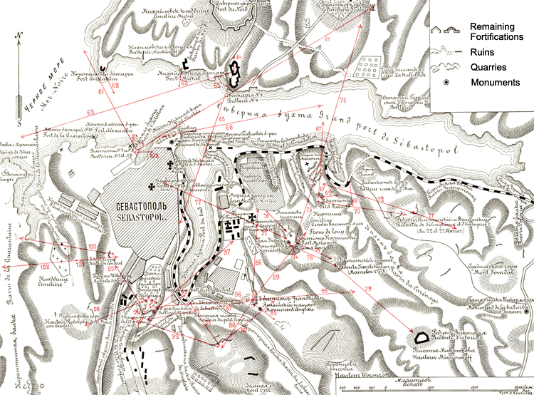
Plan V. Sevastopol and Environments
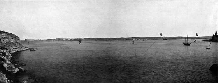
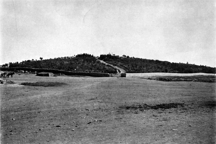
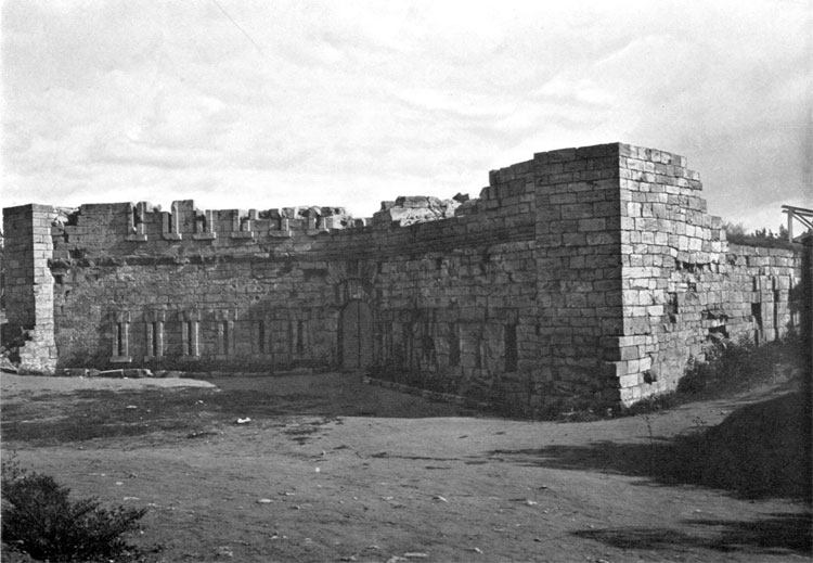
61. Sevastopol and Environments. View of the Northern side of Sevastopol Bay. 1 - Konstantin battery, 2 - Nachimov battery, 3 - Michail battery, 4 - Battery # 4, 5 - North Side Fort, 6 - Church of the Bratskoe cemetery, 7 - Nikolai battery.
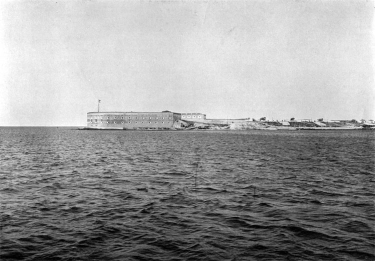
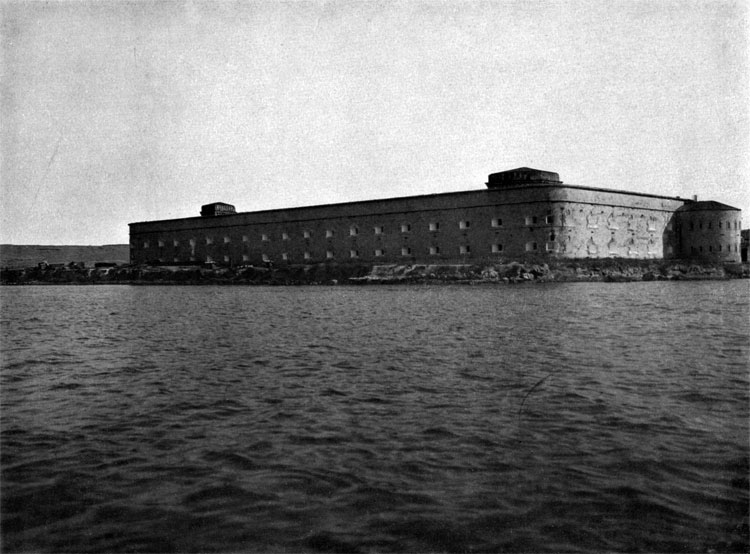
62. Konstantin Battery.
63. Michail Battery
64. North part of the battery # 4 (Catherine).
65. View of the Sevastopol Southern Side.

66. Place of the former Nikolaev Battery, now Maritime Boulevard.
67. View of the 1st Bastion (Point) from the 2nd bastion (Petit Redan).
68. Mouth of the Kilen Ravine and the road from 2nd Bastion to Volyn (22nd February) and Selenga (27 February) Redoubts.
69. View of the Petit Redan (2nd Bastion) from 7th French parallel.
70. View of Balkan Battery, Volyn and Selenga Redoubts from the 2nd Bastion (Petit Redan).
71. View of the Suzdal mountain from the Selenga Redoubt.
72. View of Volyn and Balkan (2nd may) Redoubts from Selenga Redoubt.
73. View of Kornilov Bastion (Malakhov) from the French 7th Parallel.
74. View of Kamchatka Lunet from Kornilov Bastion.
75. View of the 2nd bastion, connecting courtine and 1st Bastion (Point) from Kornilov bastion.
76. Rear part of the Malakhov.
77. View of Sevastopol from Malakhov. 1 - Konstantin battery, 2 - Nikolai battery, 3 - Pavel battery.
78. View of the Malakhov from Kamchatka Lunet.
79. View of the height with British Victoria Redoubt from Kamchatka Lunet.
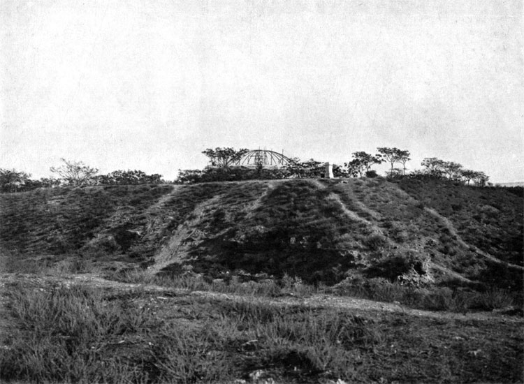
80. Malakhov Tower.
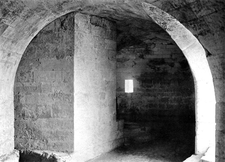
81. View inside the lower level of Malakhov Tower.
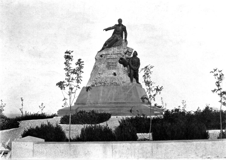
82. Monument to Admiral Kornilov on Malakhov.
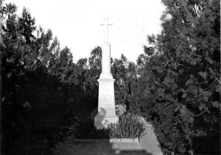
83. Monument to the Russian and French soldiers, died during the final storm of Malakhov, August 27, 1855.
84. Monument to the British soldiers, killed near 3d Bastion (Great Redan).
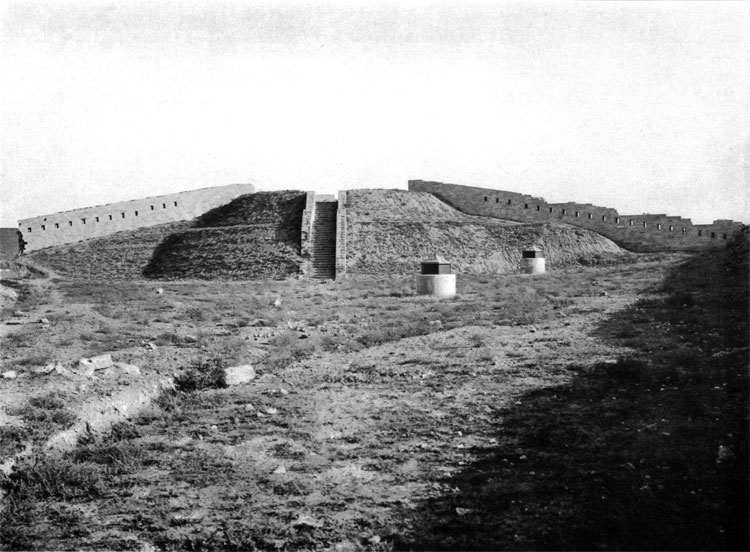
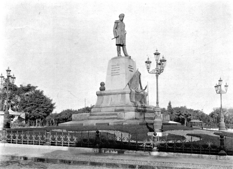
85. View of the 3d Bastion's (Grand Redan) outer corner from the British 5th parallel.
86. View of the Yanovsky and Budischev batteries position from the 3d bastion (Great Redan).
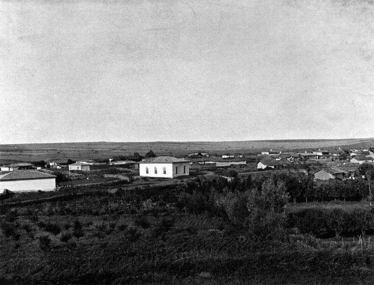
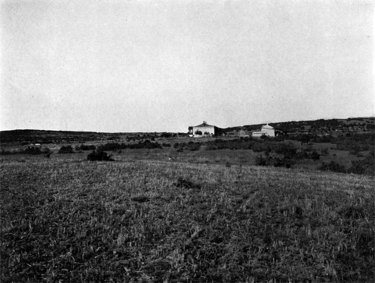
87. View of the 4th bastion (Mat), Gribok battery, Boulevard Hollow, Sarandinakin Ravine (British Ravine) and Green mountain (Vert) from the 3d bastion.
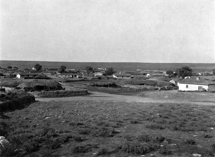
88. View of the Green mountain (Vert) from the 3d bastion (Great Redan).
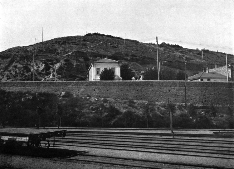
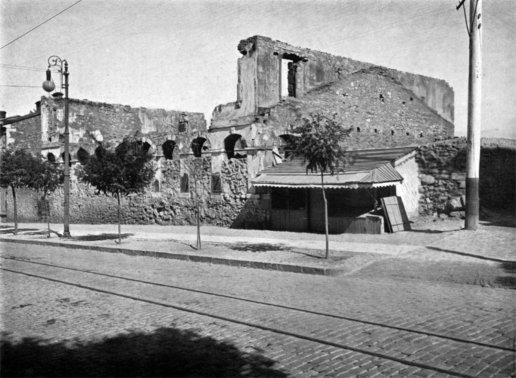
89. View of the Malakhov from the 3d Bastion (Great Redan).
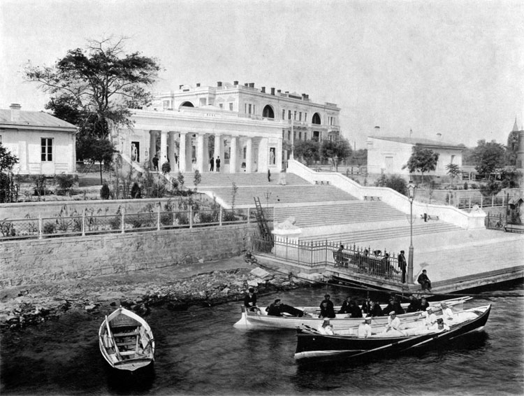
90. View of the Bomborsky Sloboda suburb, 3d bastion (Great Redan) and Sugar Head from the Green Mountain (Vert).
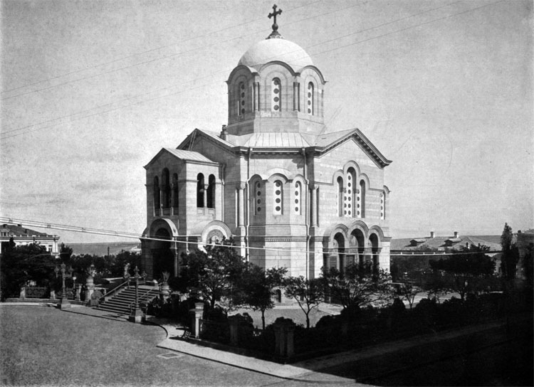
91. View of the Green mountain (Vert) from Peresyp.
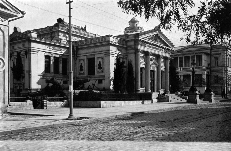
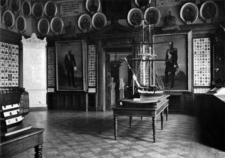
92. View of the Historic Boulevard, Gribok battery, Boulevard Hollow and Sugar Head from the Green mountain (Vert).
93. View of the Gribok battery from Stahl Battery.
94. View of the 4th bastion (Mat) corner and outer moat.
95. View from the 4th bastion corner in the south direction.
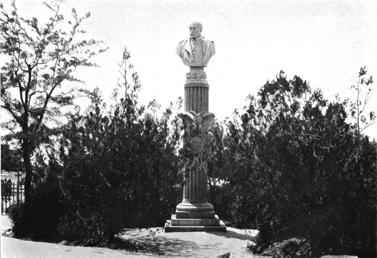
96. View of Gribok Battery, Bomborsky Sloboda, Malakhov, Laboratory Ravine and 3d Bastion (Great Redan) from Battery # 34.
97. View of Peresyp, South Bbay, and Bomborsky Sloboda from Gribok Battery.
98. View of the City Ravine and Rudolf Mountain from the Battery # 21.
99. View from the Battery # 21 in the direction of 5th bastion (Central) and Shwartz Redoubt.
100. View from the 5th bastion (Central) to the west, in the direction of City Cemetery.
101. View from Cemetery heights to the remains of 5th bastion (Central).
102. View of the center and north part of the City Cemetery, where counter-trenches of the 5th bastion were located, from the Cemetery Height.
103. Artillery Bay and rear parts of the 7th and 8th bastions.
104. Remains of the 5th bastion (Central).
105. Monument to Admiral Kornilov in Sevastopol.
106. Former Yazykov hamlet, where French HQ was located.
107. Former Brakner hamlet, where British HQ was located.
108. House on Ekaterininskaya Strret, witness of the bombardment.
109. Grafskaya Pristan (embarkation point).
110. St. Vladimir Cathedral
111. Museum of Sevastopol Defense.
112. Museum Middle Hall.
RUSSIAN CEMETERY
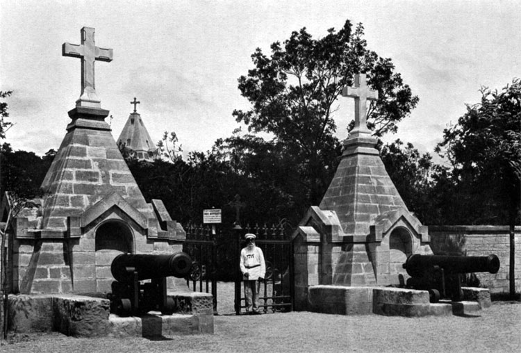
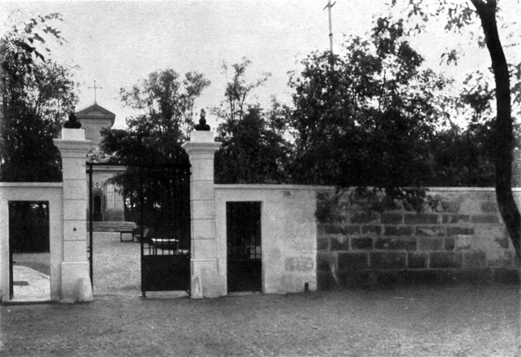
113. Entrance to the Bratsky Cemetery on the Sevastopol Northern Side.
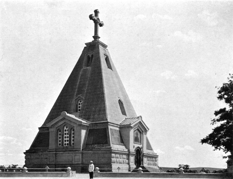
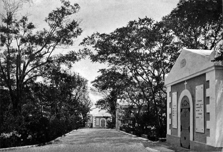
114. Bratsky Cemetery church.
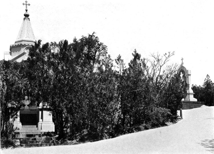
115. Cemetery path with monuments and graves of Count Gorchakov and Count Totleben.
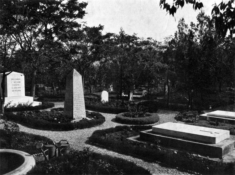
116. Monument and grave of General Chrulev.
FRENCH CEMETERY
117. Entrance to the French Cemetery on the Kulikov Field,
118. Inside the French Cemetery.
BRITISH CEMETERY
119. British Cemetery on the Green Mountain.